Field
Field data collection
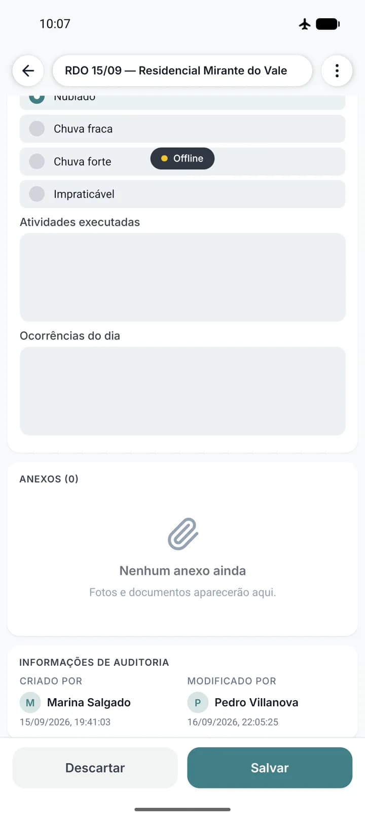
Daily log, inspection, incident: filled in on site, in the moment.
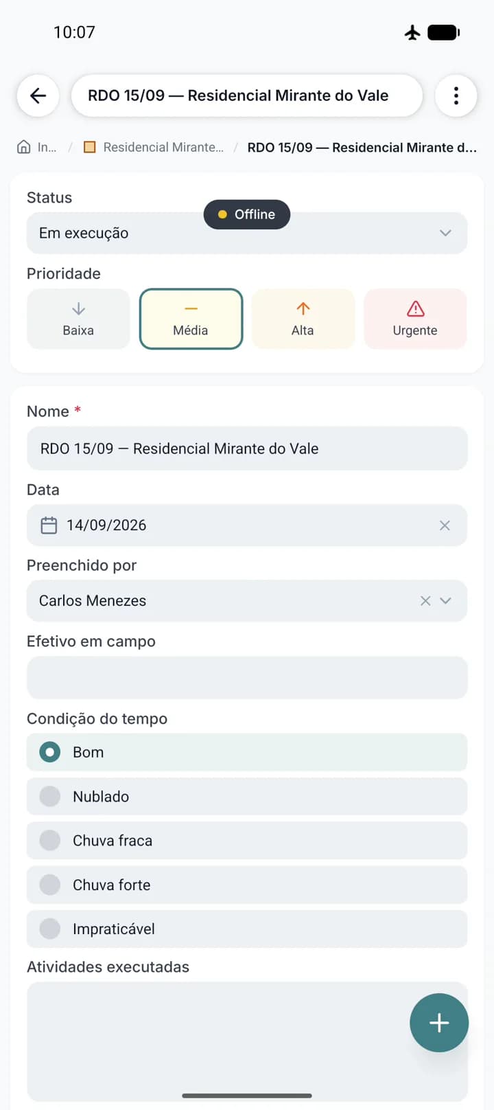
Every form your crew fills in on paper or over WhatsApp becomes a structured form in the app, with the fields you defined. Photos carry coordinates and time, and everything lands in the right project without anyone transcribing it later.
- Forms with the fields you defined, filled in offline
- Geotagged photos, taken on the spot or picked from the gallery
- Attach any file type to the site or the task
- Every record is tied to its folder and its point on the map
The photo proves where and when
The Geodocs camera will not take a photo without a position: if the device has not fixed GPS yet, the shot is refused. Every image comes out with coordinates, altitude, compass heading, date and time written inside the file itself, and lands on the right site. Months later nobody has to argue about where that photo came from.
- Coordinates, altitude and heading written into the image itself
- A viewer that shows each photo's data and lets you share it
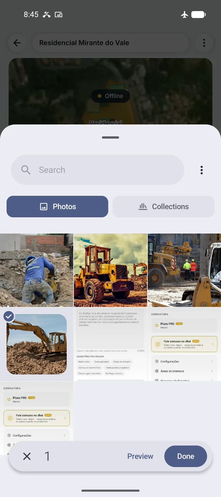
- Multi-select gallery, to upload several at once
- Photos and files join the upload queue and go up on their own
Every record has an owner, a date and a history
Each form keeps who created it, who last changed it and when. If someone edits a value later, that change stays in the entity history, field by field. That is what turns a field record into a document you can defend in a measurement or an audit.