Platform
GIS layers
The topographic survey and the electrical drawing on the same screen as the tasks.
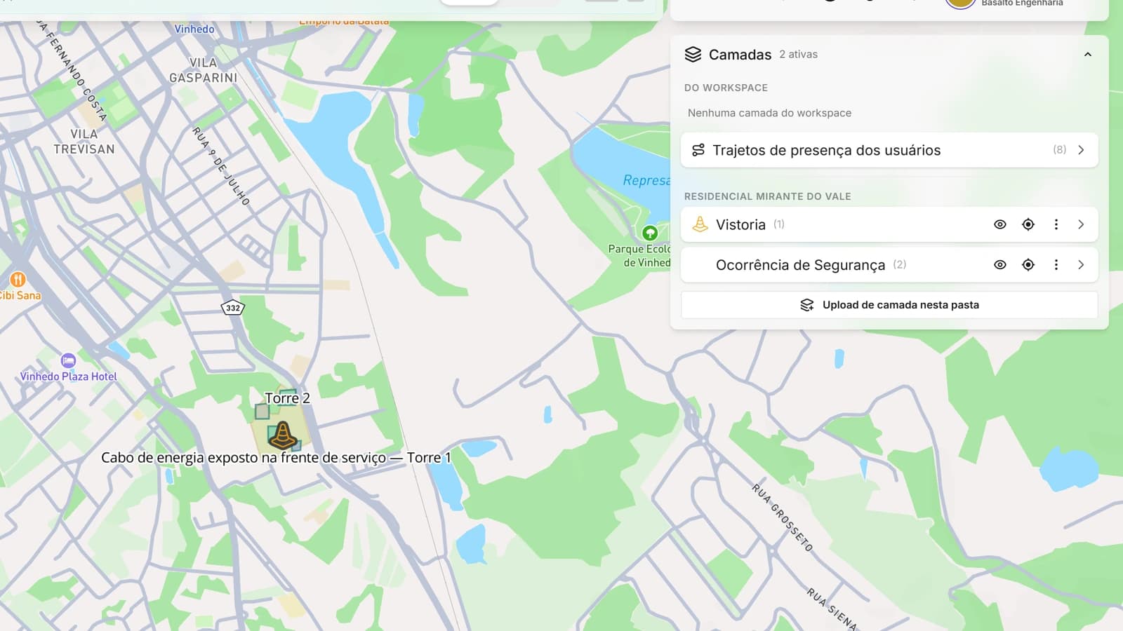
Upload geospatial files and they become layers over the project map, with their own style and name. System-generated layers, such as presence routes and inspection points, sit alongside yours. One layer can be connected to several projects.
- Shapefile in .zip, KML, KMZ and GeoJSON, keeping the KML folder tree and icons
- Connect external WMS and WMTS services by URL
- Toggle layers per project, in the office and on the phone
- A public link per layer, to show the map to people without an account