Field
GPS site presence
The day's route drawn on the map, with nobody logging anything.
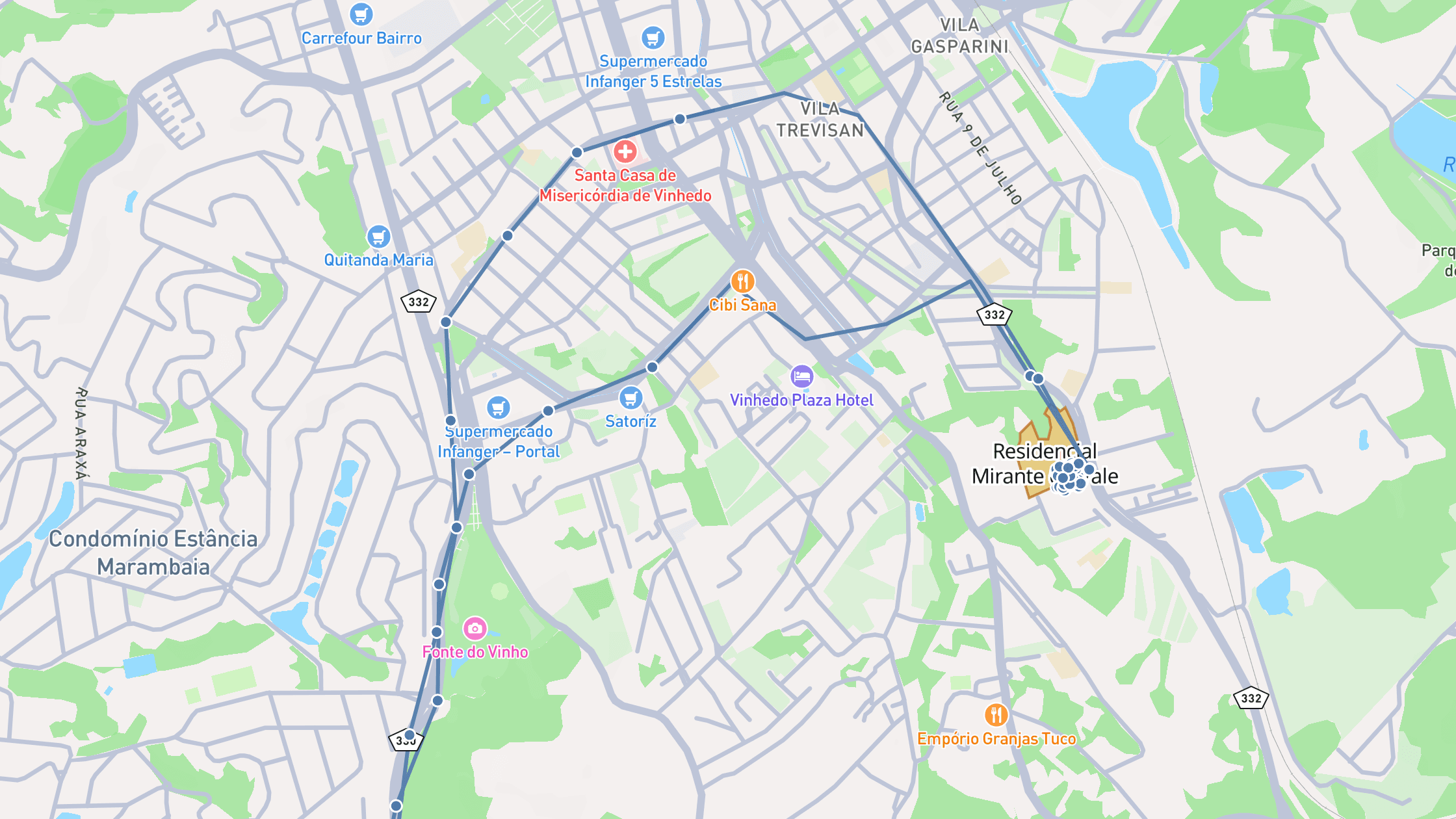
When a technician starts work in the app, Geodocs records the route and recognises which project they were on. At the end of the day you see on the map where the crew went and how long they stayed on each front. It works offline and respects the mode you choose per project.
- Daily routes over the map, with start and end marked
- Automatic site recognition from the project geometry
- Per-project modes: log silently or warn the worker on entering a restricted area
- Worker consent, and a screen explaining when capture is on
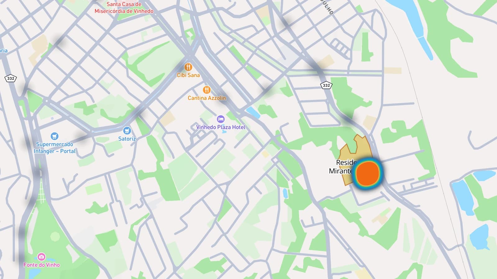
Heat map: where the crew spent its time
Beyond each person's route, the heat map shows the combined density of everyone who passed through the site that day, weighted by how long they stayed. You can see from afar which front concentrated the crew and which one stayed empty, without opening route by route.
- Heat map per person or for the whole crew, per day
- Weighted by time spent at each spot, not just by passing through
- A distinct colour per worker to tell routes apart
- Start and end of each route marked on the map
Transparent with the people being tracked
Site presence only starts after the person accepts, and they can open a screen at any time that explains whether capture is active, why, and what has not been uploaded yet. In areas marked as restricted the worker gets the alert on the device itself, even with no network.
- Consent screen before the first capture, and again when the policy changes
- Three modes per project type: off, log silently, or warn the worker
- Configurable retention period for location data
- CSV export of events and visits, and a presence report in PDF